
Last Updated on 9 May 2025
Introduction
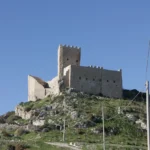
Aragona was founded in 1606 by Count Naselli, who called it Aragona in honor of his mother Beatrice of Aragon. The town is located in the Sicilian hinterland best known for its maccalubes and for having the highest emigration rate in Italy.
The maccalube are mud volcanoes that in Roman times were even used for rheumatic and beauty treatments. Today a nature reserve has been established here but it has been closed to the public since 2014 , after the deaths of 2 children and their father, overwhelmed by a sudden eruption of mud more than 20 meters high.
What to see in Aragon
At the bottom of the page I have prepared a map with the most beautiful monuments, namely Umberto Square and churches.
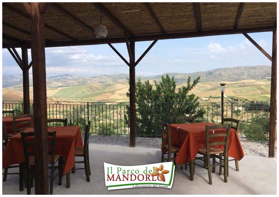
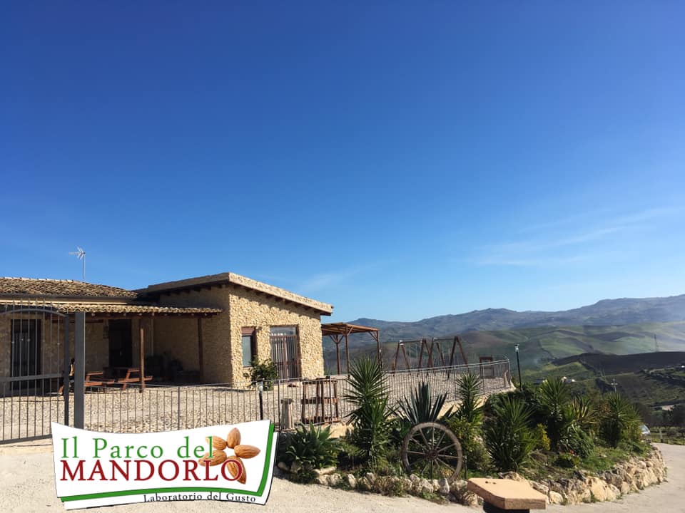
To complete your visit to Aragon I recommend a typical lunch at a beautiful farmhouse in the midst of nature, among almond trees and with a beautiful view of the surrounding hills, The Almond Park. There is also a play area for children and some animals such as rabbits, geese, goats and ponies.
Interactive map of Aragon – Points of interest in purple
Most popular activities for tourists in Sicily
Typical dishes
Here you find the typical products of the province of Agrigento of which Aragona is part.
Here instead i typical Sicilian dishes.
What to see around Aragon
Aragona is part of the province of Agrigento, here are listed the places to visit ad Agrigento and surroundings .

Plan your vacation in minutes
🛏️ Find accommodation on offer

Nearby - Don´t miss it
Eraclea minoa - Between history and pristine beaches
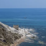
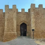
The castle of sant'angelo and falconara - land and sea
What to see in Palma di Montechiaro - The set of The Leopard
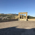
Valley of the Temples - Stroll among olive trees and Greek temples
What to see in Sciacca - The city by the sea
Andromeda Theater - The story of an artist shepherd
Torre Salsa - Magnificent nature reserve by the sea
Scala dei Turchi - A wonder of nature
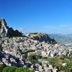
What to see in Caltabellotta - A timeless magical place
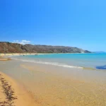
The most beautiful beaches in Agrigento and surroundings
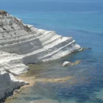
White tip - A wonderful coastline that looks like snow
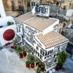
Things to do in Favara - the town of art
Things to do to in Sambuca di Sicilia - an Arab village
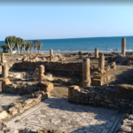
Roman villa of Durrueli - Overlooking the sea
Things to do in Naro - The panoramic castle